2 COUNTRIES, 1 TINY ISLAND! SAINT MARTIN, A BRIEF HISTORY!

Two countries on one tiny island. It’s only about 34 square miles but this map dot of a place has a tremendous history that has been created by people from all over the globe such as Indigenous, African, Dutch, French, Spanish, British, Italian, Danish, Portuguese, and even Chinese. Today it is a popular tourist destination but very few visitors know of the big history of this tiny place.
For such a tiny island, St. Martin’s has an amazing history but I promise to keep this article brief. During the time of the last ice age the sea level was much lower than today and, St. Martin’s, Anguilla, and St. Bart’s were all one land mass consisting of about 1,800 miles. Today they are only about 100 square miles all together. Saint Martin’s pre-colonial name is Oualichi, which means “the island of women”. Indigenous tribes inhabited the island over the centuries, first of which were the Arawaks, and later by the Carib Amerindians. The Caribs conquered the Arawaks and pushed them out but at the time of the first European exploration the island was uninhabited.

During Christopher Columbus’ second voyage he supposedly sailed by the island and as was the tradition, named it Saint Martin, for Saint Martin of Tours. We now know that it is unlikely that Columbus’ route passed by this island, and the island that he named Saint Martin, is likely the island known as Nevis, however due to simple and inaccurate maps the island became known at Saint Martin. Who is Saint Martin? Saint Martin was a fourth century Roman cavalryman in Gaul before he became a priest and eventually the Bishop of Tours. He is most known for taking his sword and cutting his cloak in half to give to a beggar in the middle of winter. He was known as the patron saint of France during the French Third Republic. Part of his skull is on display in the Basilica of Saint Martin, in Tours, France.
The first Europeans known to set foot on the island were Dutch sailors that stopped to repair their ship. They found the island uninhabited and full of salt ponds which were important for manufacturing salt, which at times was more valuable than gold. In 1631 more Dutchmen arrived and claimed the island for the West India Company. They began to build the fort known as Fort Amsterdam. At around the same time settlers from France began to arrive on the island.
During this time period, Spain and Holland were engaged in what is known as the Eighty Year War and battles took place in their colonies as well. Just two years after the Dutch built Fort Amsterdam, the Spanish attacked and drove both the Dutch and the French off the island. In 1644, the Director of the West India Company, a man named Peter Stuyvesant rallied up a force of over five hundred men from other Dutch controlled islands and attacked Fort Amsterdam. The Spanish only had around one hundred twenty men but were successful in defending the fort and forced the Dutch to retreat. During the attack the Dutch commander Peter Stuyvesant was struck by a cannonball and his leg had to be amputated. He was fitted with a wooden leg like we envision pirates having during this time period.
It wasn’t very long before Stuyvesant was given a promotion to Governor of a little community that you may have heard of, New Amsterdam, which eventually became New York City. Under his leadership the protective wall that became Wall Street, and the canal that became Broadway were built, perhaps you’ve heard of these places. It’s always interesting to see when history of two places have connections.
Just a few years after the siege of Fort Amsterdam, the Eighty Years War ended. The Spanish became disinterested in the island and in March of 1644, they simply packed up and sailed away. Within days the Dutch and the French moved back to the island from St. Eustatius and St. Kitts. On 23 March 1648 the Dutch and the French signed the important Partition Agreement, also known as the Treaty of Concordia, on Mont des Accords, otherwise known as Concordia Hill. This document defines the boundaries of what became known as the French Side and the Dutch Side.
The boundary has changed dozens of times since the original agreement. Local folklore tells the story of how the position of the original border came about. The legend states that a representative was selected from each side and placed back to back on the beach to walk in opposite directions. Where they met up would be the position of the border and a line drawn across to the starting point would be the new border. The French representative covered more ground and the French ended up with about 20 square miles and the Dutch 14 square miles. The French claimed that their representative walked faster because he was drinking French wine which was lighter than what his counterpart drank, Dutch Gin. The Dutch said that the Frenchman cheated and actually ran instead of walked but either way, the boundary was made.
Over the next few decades the island was full of chaos and it was often raided by the British and pirates. The British even took control of the French Side eight times but the Dutch side never fell out of their hands. In the early 1700s a Scotsman named John Phillips came to St. Martin, married a Dutch woman and built a plantation. He began to be successful and in 1735, the Dutch West India Company appointed Phillips Commander of St. Martin. Phillips stabilized the island and helped organize the efficient production of cotton, sugar cane and coffee. Phillips recruited more British settlers to come to St. Martin and with them came hundreds of African slaves and even some laborers from China.

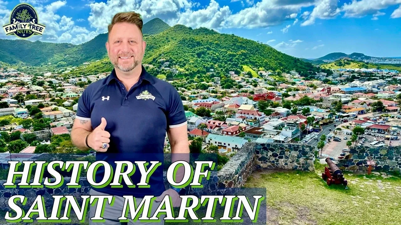
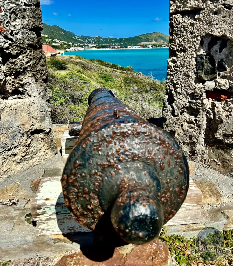
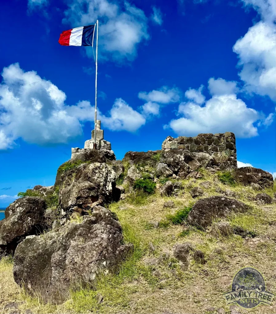
Due to British and pirate raids on the French port city Marigot the French built Fort St. Louis in 1766. It stands on a high hill overlooking the port, with in cannon range of the ships that so often raided the storage warehouses down below. When I visited here, I couldn’t help but think about how nice of a duty station that this was.
Slavery was abolished on the French Side in 1848, and many enslaved people on the Dutch Side simply walked over to the other side of the island and obtained their freedom. The Dutch Side abolished slavery on 1 July 1863 and on that day 1,878 people received their freedom. Most of the European planters soon left the island and many of the former slaves left for opportunities on other islands. This flight caused the population of the island to drop substantially and by the 1920s only about 2,000 people lived on Saint Martin.
For safety during World War II, Dutch Princess Juliana stayed at Saint Martin with her children. She arrived just a few months after the new airport was opened and it was named in her honor. The airport is famous for its landings and take offs being right beside a small public beach. The planes come in amazingly close to the people below, and sometimes on takeoffs their jets even blow people into the ocean. This was a really neat experience for me both at landing and coming to watch from the beach.
By the 1950s and 1960s the island began to become a tourist destination and is a port for mega cruise ships. Today, tourism is by far the main industry and most residents are involved with it in some capacity.
So, there you have it, a brief history of Saint Martin. What do you think? Have you visited here before? Did you know any of this story before or after you visited? Have you now added this location to your bucket list? We’d love to hear from you and please let us know what you think in the comments below.
Saint Martin is one of those places that most people have never heard of but like almost all places, it has a rich hidden history everywhere you look. We are proud to help preserve the stories and share them with all of you. Be sure to see our video below from here.
-Col. Russ Carson, Jr., Founder, Family Tree Nuts
